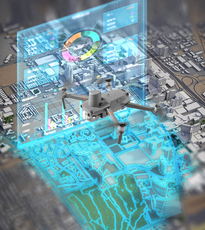

SENKEN’s new production:”Magic Tool” UAV Intelligent Mapping System Revolutionizes Traffic Accident Site Investigation
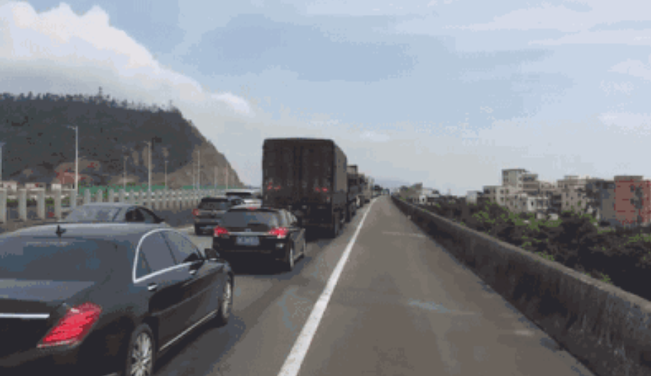
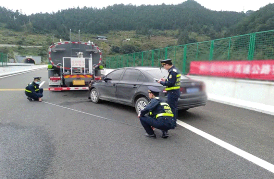
Traditionally, traffic accident site investigation relies entirely on manual work: simple tools, road closure, on-site photography and manual sketching. This conventional method is time-consuming and labor-intensive, especially on high-traffic road sections. It often leads to prolonged road congestion and affects normal traffic operation.
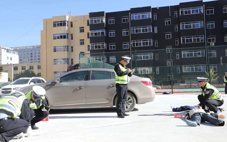
To solve these pain points, Senken Group has officially launched the professional UAV Road Traffic Survey System. It endows traffic law enforcement and traffic management with aerial “wings” and a pair of “clairvoyant eyes”, greatly improving the efficiency of law enforcement and on-duty work with outstanding mobility, flexibility and labor-saving performance.
Core Product Advantages
Integrated with full-functional design, high-definition video recording, independent R&D technology, real-time command, intelligent mapping and strong anti-interference capability, the system perfectly adapts to complex road traffic scenarios.
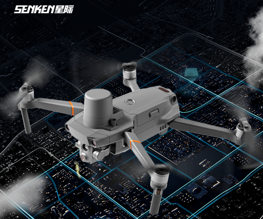
Ultra HD Visual Restoration
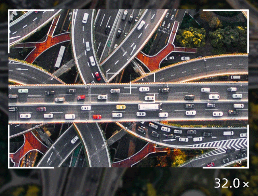
Equipped with 4800W high-definition pixels and 32x digital zoom, the drone features high-altitude perspective, wide coverage and multi-view observation. It can restore accident details truthfully and completely, realizing efficient, accurate, comprehensive and safe evidence collection at accident scenes.
Stable Long-distance Image Transmission
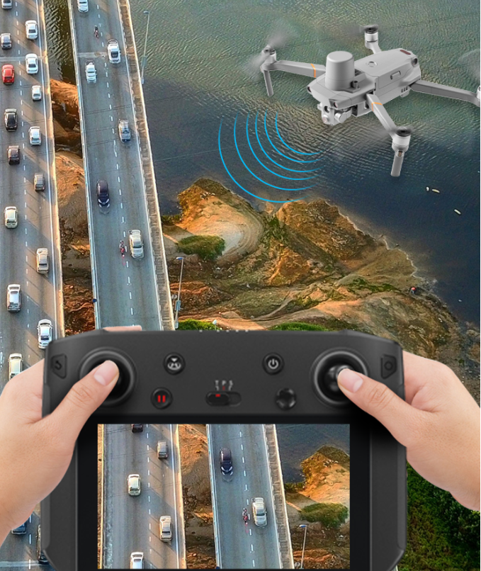
Adopting microwave technology for video and image transmission, the system boasts a coverage radius of 5–7 kilometers with wide signal coverage and ultra-fast transmission speed. It perfectly suits complex road environments and large-range traffic monitoring tasks. Meanwhile, it supports remote wireless real-time image transmission, enabling back-end command centers to monitor the site in real time and conduct efficient remote dispatch.
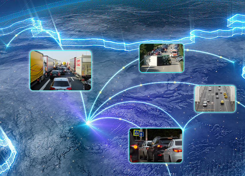
All-scenario Traffic Management
With a broad aerial field of view and instant image transmission, the drone enables intuitive remote real-time road condition monitoring. It is not only applicable to daily road traffic control, but also supports rapid on-site traffic evacuation and diversion.
Expandable Multi-mission Deployment
The drone supports flexible mounting of various auxiliary devices such as loudspeakers, searchlights and warning lights. It can be deployed in diverse environments for continuous monitoring of key areas and rapid traffic data collection.
Empower Smart Traffic Planning
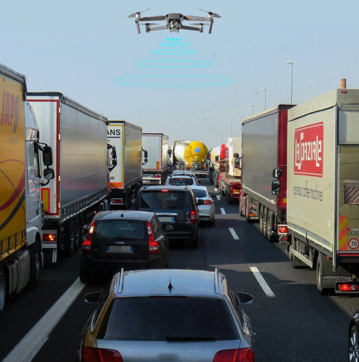
The system can conduct high-altitude video collection at major intersections, key road sections and traffic auxiliary facilities. Collected data can be stored permanently and applied to traffic big data analysis, providing solid data support for long-term urban traffic layout and intelligent traffic optimization.